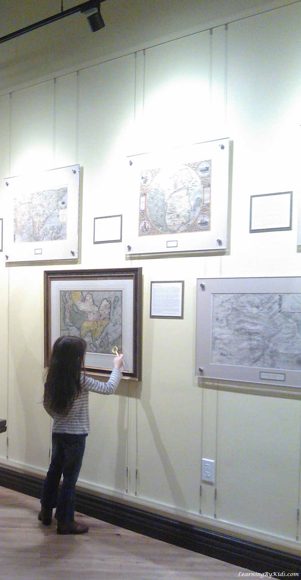
Maps are informative tools that help us understand location. And, an atlas is a book full of charts and maps. Interestingly enough, there is a southern California museum dedicated to maps and atlases.
The museum was created by Michael Stone, who graduated from both Duke University and Harvard Business School. He developed a fascination for maps and began collecting them. Wanting to share his interest, he then opened the museum to showcase his private collection.
The museum houses about 500 rare maps and atlases. Some items in the collection date as far back as the 1400s!
As the exhibits demonstrate, there are many different types of maps. Each varies in color and content.
We learned two new words while at the museum. The first word is cartography. Cartography is the science of map-making. Map-makers, or cartographers, of long ago were great artists, as these photographs illustrate.
And, what was the second word we learned at the museum? It is the word investment. The hobby of collecting antique maps is a good investment because the value of maps increases over time.
Once you are a visitor to the museum, you can’t help but be bitten by the map-loving bug! We’ve heard of getting lost in a book, but technically you can’t get lost with a map. Rather, you can get heavily immersed in it!
Many display cases grab the attention. We reckon that’s why the Map & Atlas Museum is also a great place for research!
The maps at the museum give folks a glimpse of history. In many ways, maps are time capsules of the geographical places they represent.
Some maps have mythological creatures on them, reminding us of the belief systems of old. This one is a Ptolemaic World Map by the woodcutter Johann Schnitzer, from the 1480s. The winds are represented by deities around the rim.
This one is a Leo Belgicus Map by Petrus Kaerius, from 1617. The European countries of Holland and Belgium form the shape of a lion because it was the symbol used in many coats-of-arms in the region. The lion was a reference to Holland’s power as a sea-faring kingdom and colonizing empire overseas. The Dutch East India Company, incidentally, was established in 1602.
We could almost imagine ourselves stepping back in time and experiencing how the world was viewed during the Age of Exploration. Observing these maps, one could almost feel the excitement of expansion from the Old World to the New.
Other maps reveal the precision of seafarers from long ago, as they tried to record what they saw for the countries they represented. Maps, after all, serve as guides that pioneers make for those who would follow them into newly discovered lands.
The staff at the museum provide magnifying glasses so that we can better examine the many artifacts at the Map & Atlas Museum. We loved the opportunity of looking at so many details. This wonderful museum made us realize that map-making by hand seems like a lost art.
We highly recommend visiting the Map & Atlas Museum of La Jolla. It’s a great place to reflect on progress and on the need to preserve history for future generations.


